List of Middle Belt states in Nigeria: which ones are they?
Nigeria is a large west African country that occupies 356,669 square miles. It has a population of over 206 million people. The country is divided into regions to ensure government services and resources reach the people at the grassroots level. There are several Middle Belt states in Nigeria. They stretch longitudinally across central Nigeria.
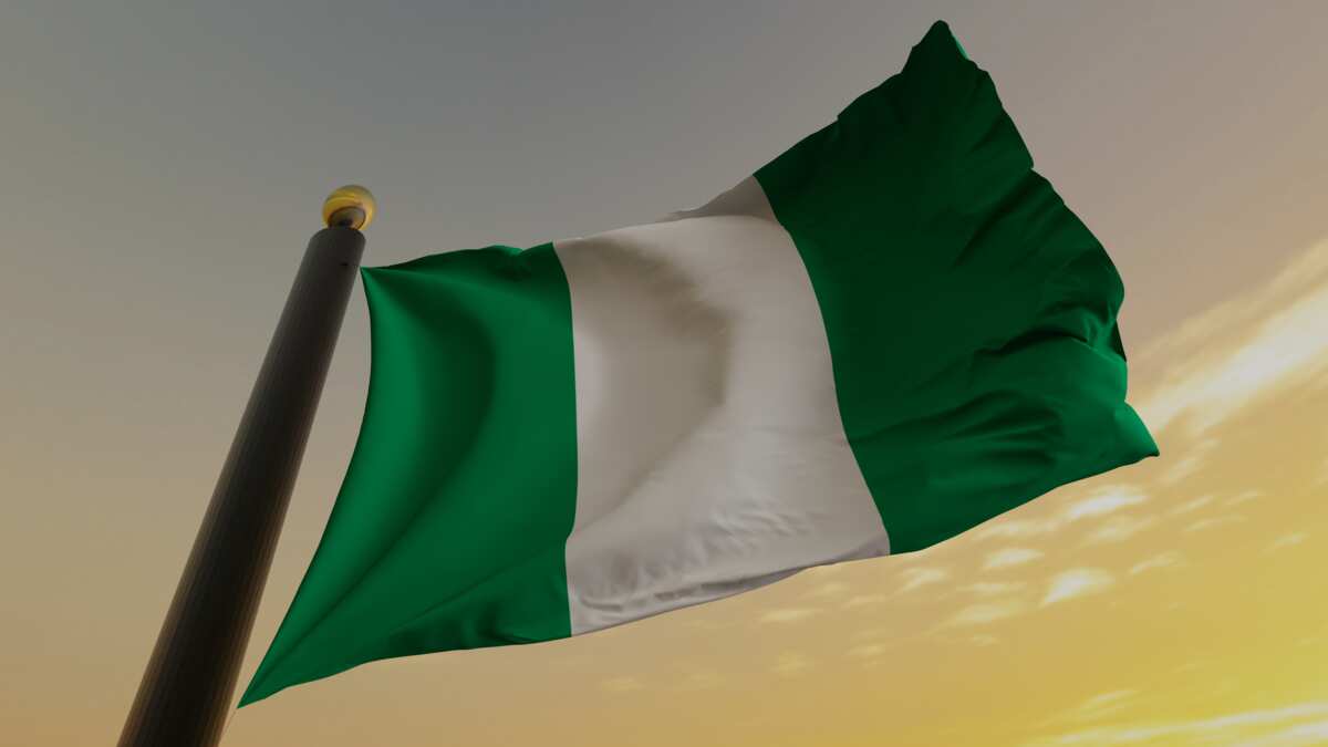
Middle Belt states in Nigeria separate the southern and northern parts of the country. This geographical region comprises several regions and is home to many ethnic groups speaking over 230 languages.
List of Middle Belt states in Nigeria
Check out the list of Middle Belt states in Nigeria in 2022.
1. Plateau
Plateau is one of the Middle Belt states in Nigeria. It is located in east-central Nigeria and was created in 1976. It borders Taraba on the east, Bauchi and Kaduna on the north, and Nasarawa on the south and west.
Read also
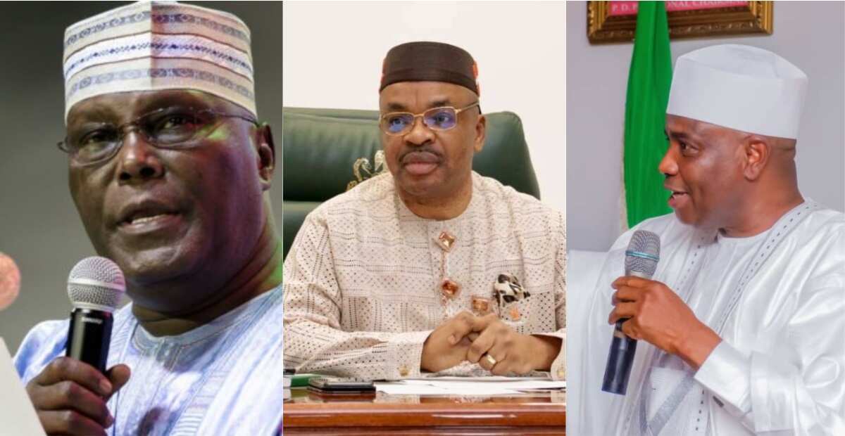
BREAKING: Atiku appoints two popular governors as campaign Council DG, chairman
PAY ATTENTION: Follow us on Instagram - get the most important news directly in your favourite app!
Agriculture is the primary economic activity in Plateau, but some mining also takes place. It is a major exporter of columbite and tin.
2. Nasarawa
Nasarawa is one of the states in Middle Belt Nigeria. Its capital is Lafia, and it was created on 1st October 1996. The region has vast arable land for fishery development, commercial farming, wildlife and forestry conservation.
Agriculture is the primary economic activity in Nasarawa, and many residents are subsistence farmers.
3. Adamawa
Adamawa is among the states in the Middle Belt of Nigeria. It was established in 1991 from the northeastern half of the former Gongola region. Borno and Gombe border it to the north, Cameroon to the east, and Taraba to the west.

Read also
UN member states may allow Zelensky to speak by video
The Benue River and its tributaries provide water in this region that is mostly covered by short-grass savanna. Many people practise livestock herding and crop farming.
4. Taraba
Taraba is one of the Middle Belt states in Nigeria created in 1991. It borders Bauchi, Gombe, Adamawa, Benue, Nasarawa, and Plateau.
The northern part of Taraba is predominantly wooded savanna, and most residents engage in agriculture.

5. Niger
The Nupe, Gwari, Busa, Kamberi, Hausa, Fulani, Kamuku, and Dakarki people occupy Niger State. Islam is the predominant religion in this region, and most people are farmers. Its landscape mainly consists of wooded savannas. It also features the floodplains of the Kaduna River.
6. Kwara
In May 1967, the government disbanded four existing regions into 12 regions, one of which was Kwara. The Fulani people are predominant in the wooded savanna regions.
Other communities inhabiting it are Yoruba, Nupe, Busa, and Baatonun. It is among the least densely populated regions in the country, and most people are Muslims.
Read also
Several hurt in Kenya stadium crush ahead of Ruto swearing-in
7. Kogi
Kogi was also established in 1991. The Igala, Yoruba, and Igbira people are predominant in this region. They farm yams, cassava, sorghum, rice, beans, maize, and cotton. Fishing is also common in Kogi.
8. Benue
The Tiv community is the largest ethnic group in Benue state. Many other smaller communities reside in the area. They grow soybeans, sesame seeds, shea nuts, yams, cotton, maize, and rice. The region has major deposits of niobium, tin, and marble, making mining common.
9. The Federal Capital Territory
The Federal Capital Territory is an administrative area formed in 1976. Abuja, Nigeria's capital, is situated near the centre of the territory. The Gwari, Hausa, Koro, Fulani, Ganagana, Afo, Gwandara, and Bassa occupy this territory.
10. Southern Kaduna
The Hausa and Fulani people are the predominant inhabitants of Kaduna State. This state borders Niger to the west and Nasawara to the south. Its southern part is considered part of the Middle Belt.
Read also
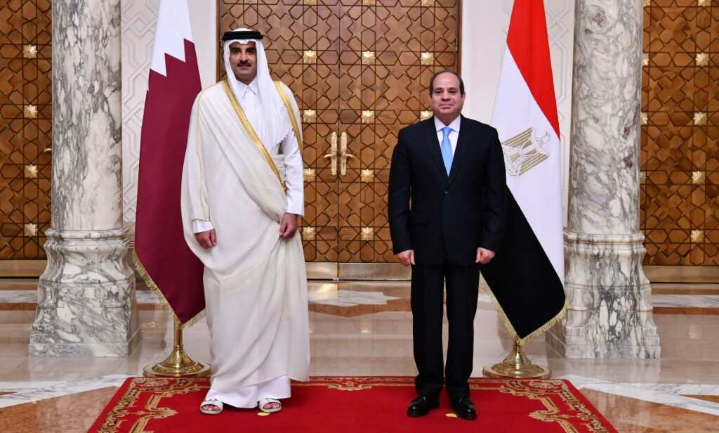
Egypt's Sisi to make first post-rift visit to Qatar

11. Southern Bauchi
The state of Bauchi was established in 1976. It borders Taraba, Plateau, and Gombe to the south. The southern part of the state is part of the Middle Belt.
12. Southern Kebbi
In 1991, Kebbi State was carved from the southwestern half of Sokoto. Agriculture is the primary economic activity, and the main cash crops grown in the region are cotton, peanuts, and rice. The Middle Belt includes the southern part of the state.
13. Southern Gombe
The state of Gombe was created in 1996 and was carved out of the old Bauchi State. Gombe's nickname is Jewel of Savannah. It is an agricultural state that is also endowed with over 13 different types of minerals. Its southern area forms part of the Middle Belt.
14. Southern Yobe
Yobe state was carved in 1991 from the western half of Borno state. The Kanuri community is the principal ethnic group in Yobe. Cattle herding and farming are the primary occupations, and the southern region forms part of the Middle Belt.

Read also
Napoli striker Osimhen out with thigh injury
15. Southern Borno
Did you know Borno was formerly known as Bornu? Borno is a northeastern Nigerian state, whose name means Home of the Berbers. The prominent physical features include the volcanic Biu Plateau and the Bornu Plains. The southern area of this state forms part of the Middle Belt.
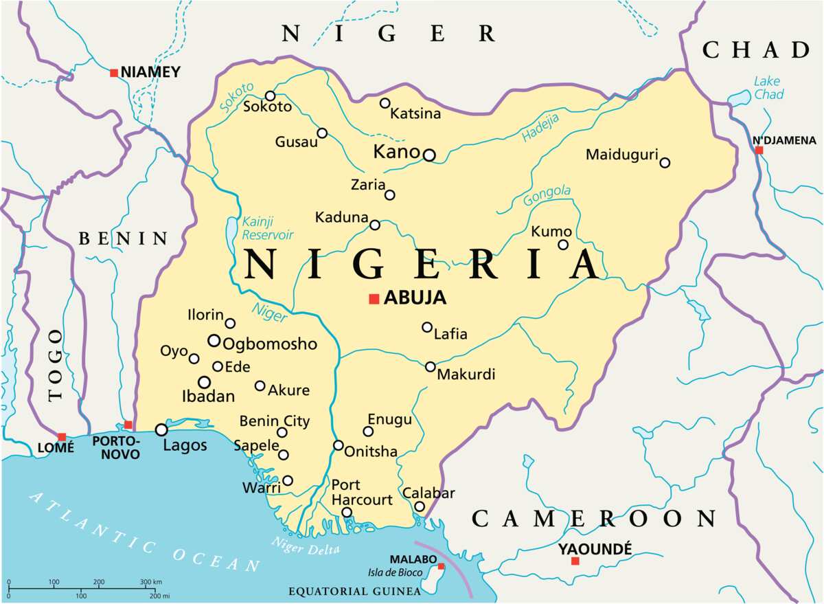
Is Kaduna part of the Middle Belt?
The southern part of Kaduna is part of the Middle.
Which states are in the Middle Belt of Nigeria?
Plateau, Niger, Nasarawa, Adamawa, Taraba, Kogi, Kwara, and Benue are the states in the Middle Belt. Southern Kaduna, Southern Bauchi, Southern Kebbi, Southern Gombe, Southern Yobe, Southern Borno, and The Federal Capital Territory are also part of it.
How many states are in the Middle Belt in Nigeria?
There are 14 states and one capital territory in the Middle Belt. Only the southern parts of some states are considered part of the Middle Belt.
Read also
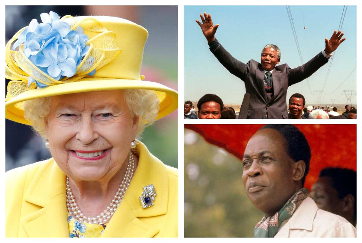
List of African countries that got independence under Queen Elizabeth's reign
Which states make up the Middle Belt in Nigeria?
The Middle Belt comprises Plateau, Niger, Nasarawa, Adamawa, Taraba, Kogi, Kwara, and Benue. Southern Kaduna, Southern Bauchi, Southern Kebbi, Southern Gombe, Southern Yobe, Southern Borno, and The Federal Capital Territory also comprise this area.
There are several Middle Belt states in Nigeria. These regions stretch longitudinally across central Nigeria.
READ ALSO: 10 largest local government areas in Nigeria by population
Legit.ng recently published details about the largest local government areas in Nigeria by population. Nigeria is divided into 36 states and the Federal Capital Territory.
These states are further divided into local government areas (LGA) to ensure proper administration at the grassroots level. LGA authorities are located in various regions and are tasked with service provision to the people.
Source: Legit.ng
ncG1vNJzZmivp6x7rbHGoqtnppdkrrS3jKWcoKGkZLS2tcOeqmhpYWuBdYCSZqOiq6Riuqqww6WcZpqVocFuv9Oaq56rXaO2qLHRopho